Roughly where.
Never exactly where.
Most of these caves are gated, on private or conservancy land, and home to endangered bats and blind cavefish. So the map shows general areas — a town, a county, a coarse cell — and never the door. The precise entrance stays a real-world, trust-based handoff.
How a conservation map works
Obscured wild caves
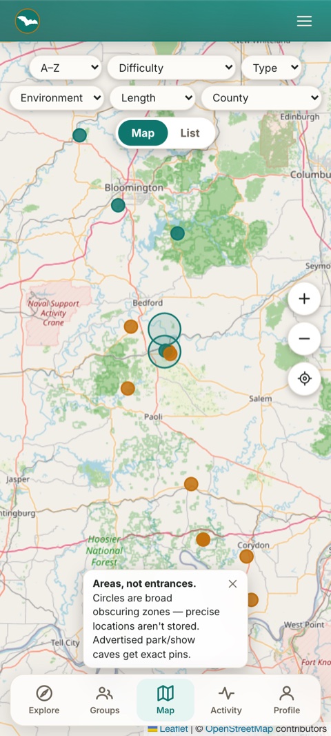
Sensitive caves snap to a coarse ~3-mile grid before anything is stored — the true point never touches the database. A circle over real coordinates would be fake privacy; this isn't.
Real pins for public caves
Commercial show caves and state-park caverns are already advertised, so those get exact pins and links — no reason to hide what's on a billboard.
Only caves in view
Search by name or county and see just the caves in your current viewport — tap one to fly straight to it.
Karst regions & lands
Conservancy lands (Hoosier National Forest, IKC preserves) and how to seek access in each — the map is for orientation and planning, not navigating to a hole in the ground.
Built to protect what's underground
The cave world runs on trust: publish an exact entrance and you invite trespassing, vandalism, and harm to fragile ecosystems. So Karst deliberately blurs sensitive locations — roughly where, never exactly where. Members of a verified grotto can unlock member-only locations, earned through the community, not by showing up at a gate you found online.
Caving near bats? How to decontaminate your gear (White-Nose Syndrome) →
Explore the region
Browsing the map is free and open — no account needed.